An interactive star map of our neighbourhood in the universe, as a web application — developed with funding from Film- und Medienstiftung NRW.
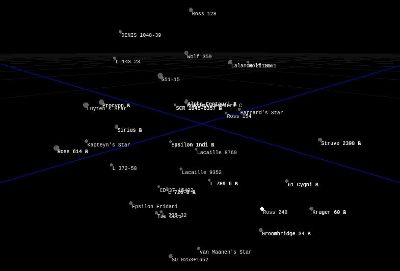
STARLIGHT was funded by Film- und Medienstiftung NRW under its programme for digital games and interactive content, and completed in March 2024. It spans three parts: an interactive star map, the database beneath it, and a space-flight simulator on top — worked out as a concept and backed by running prototypes.
Underneath it all sits real astrometry. The stars come from ESA observation catalogues, chiefly Hipparcos, and a conversion pipeline turns that scientific data into something a real-time engine can carry: positions, distances and magnitudes at a level of detail a browser can render at frame rate. The conversion runs as re-runnable scripts, so the detail level and the clean-up rules can be tuned and the whole dataset regenerated — including the small translations science and games disagree on, such as the negative parallax values that are perfectly meaningful in a catalogue and need interpreting before a star can be placed in space.
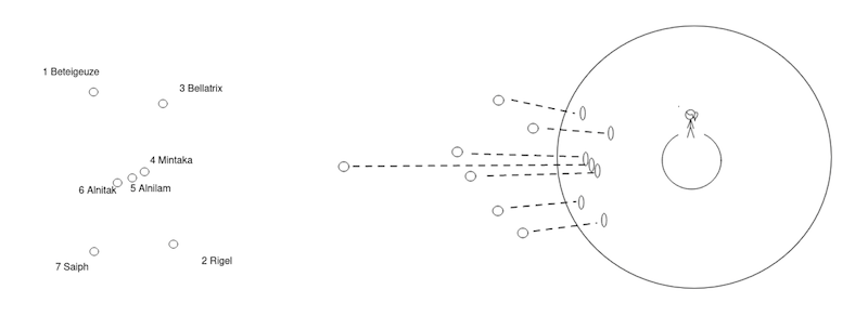
Three prototypes carry the concept. distances separates the flat sky we see from the real depth behind it — the constellation that looks like a shape from here turns out to be stars scattered across hundreds of light years. compass anchors the map to where you are actually standing, so the view matches the sky above you. And a star renderer draws the map itself, in the browser, from the converted catalogue.
Augmented Reality in the browser proved to be well within reach with WebXR: point a phone at the sky and the map lines up with it.
The concept, the data pipeline and the prototypes all stand — a foundation we intend to come back to.